
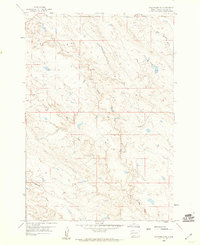
1977 Map of Table Top Butte
USGS Topo · Published 1978About this map
Table Top Butte rises above the open range of the High Plains in this late 1970s survey. The landscape is defined by its drainage systems and distinct geological rises, notably Saddle Butte and Rattlesnake Butte to the south. The mapping captures the border between Butte and Meade counties, showing a territory where water is the primary landmark. The winding course of Sulphur Creek and its tributary, South Sulphur Creek, carve through the terrain, joined by the aptly named Soft Water Creek. This survey provides a clear view of the rural section lines and unimproved roads that crisscross the prairie, illustrating the sparse settlement and cattle-country character of western South Dakota before modern development altered the remote ranching infrastructure.
Find a feature on this map
7 named features on this map. Tap any name to fly to it.
Don’t see what you’re looking for? This feature index may not catch every label — zoom into the map to look around manually.
Map Details
Editions of this 1977 Table Top Butte Map
This is the sole edition of this map. No revisions or reprints were ever made.
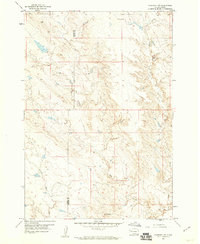
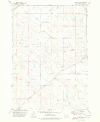
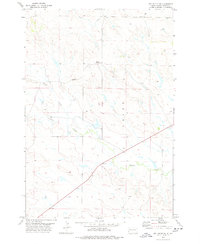
Other maps of this area

1913 · Newell
USGS Topo · 1:125,000

1953 · Rapid City
USGS Topo · 1:250,000

1957 · Rapid City
USGS Topo · 1:250,000

1959 · Fairpoint
USGS Topo · 1:24,000
1959 · Volunteer NE
USGS Topo · 1:24,000
1959 · Fairpoint NW
USGS Topo · 1:24,000

1973 · Frozen Man Creek
USGS Topo · 1:24,000
1977 · Owl Butte SE
USGS Topo · 1:24,000
1978 · Owl Butte NE
USGS Topo · 1:24,000

1978 · Camp Creek
USGS Topo · 1:24,000