
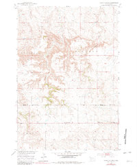
1951 Map of Cedar Canyon
USGS Topo · Published 1953About this map
Cedar Canyon and the surrounding high plains of Perkins Co and Meade Co define this mid-century landscape. The topography is dominated by the intricate breaks of the Cedar Canyon terrain, where Dillon Draw and Cedar Creek have carved deep into the prairie. This 1951 field-checked survey captures the rural infrastructure of the Missouri River Basin development era, evidenced by the presence of a Town Hall and the Gravel Pit near the Vrooman area.
Find a feature on this map
13 named features on this map. Tap any name to fly to it.
Don’t see what you’re looking for? This feature index may not catch every label — zoom into the map to look around manually.
Map Details
Editions of this 1951 Cedar Canyon Map
2 editions found
Other maps of this area

1951 · Maurine
USGS Topo · 1:24,000

1951 · Imogene
USGS Topo · 1:24,000

1951 · Bixby
USGS Topo · 1:24,000

1953 · Rapid City
USGS Topo · 1:250,000

1954 · Lemmon
USGS Topo · 1:250,000

1957 · Lemmon
USGS Topo · 1:250,000

1957 · Rapid City
USGS Topo · 1:250,000

1973 · Frozen Man Creek
USGS Topo · 1:24,000

1980 · Beverly Creek
USGS Topo · 1:25,000

1980 · Zeona
USGS Topo · 1:25,000