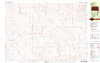
1980 Map of Zeona
USGS Topo · Published 1981About this map
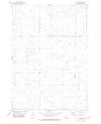
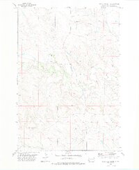
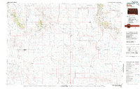
Zeona sits at the heart of this rural landscape where the North Fork Moreau River and South Fork Moreau River converge in western South Dakota. This 1980 survey captures a region defined by its watercourses and the meeting point of three counties: Perkins, Harding, and Butte. The map provides specific detail for local genealogy and history, documenting the rural community structure through sites like Immanuel Ch and the Ruby Cem. The drainage patterns of Sheep Creek, Spring Creek, and Ash Creek illustrate the hydrologic network that supported ranching and settlement in the Wyandotte and Vrooman areas. These named landmarks and the precise county line intersections offer a clear view of the territorial organization in this part of the state shortly before the turn of the century.
Find a feature on this map
14 named features on this map. Tap any name to fly to it.
Don’t see what you’re looking for? This feature index may not catch every label — zoom into the map to look around manually.
Map Details
Editions of this 1980 Zeona Map
This is the sole edition of this map. No revisions or reprints were ever made.
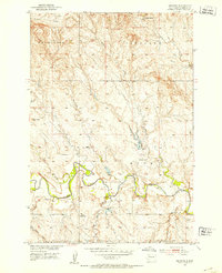
Other maps of this area

1935 · Hoover
USGS Topo · 1:125,000
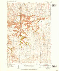
1951 · Cedar Canyon
USGS Topo · 1:24,000
1951 · Imogene
USGS Topo · 1:24,000

1954 · Lemmon
USGS Topo · 1:250,000

1957 · Lemmon
USGS Topo · 1:250,000
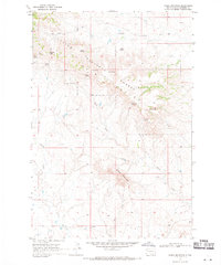
1968 · Sheep Mountain
USGS Topo · 1:24,000
1978 · Fish Draw
USGS Topo · 1:24,000
1978 · Tomato Can Buttes
USGS Topo · 1:24,000
1980 · Redig
USGS Topo · 1:100,000

1980 · Beverly Creek
USGS Topo · 1:25,000