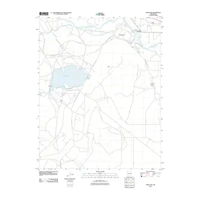
2010 Map of Fruitland
USGS Topo · Published 2010About this map
The San Juan River corridor in San Juan County defines the northern reaches of this landscape, where the settlements of Fruitland and Nenahnezad serve as focal points for local community and commerce. The presence of the Fruitland Post Office and Kirtland Cemetery highlights the established nature of these rural enclaves. Water management is a central theme here, with the Fruitland Irrigation Canal and Farmers Mutual Ditch drawing from the river to support the surrounding valley.
Find a feature on this map
39 named features on this map. Tap any name to fly to it.
Don’t see what you’re looking for? This feature index may not catch every label — zoom into the map to look around manually.
Map Details
Editions of this 2010 Fruitland Map
This is the sole edition of this map. No revisions or reprints were ever made.
Other maps of this area

1889 · Chaco
USGS Topo · 1:250,000

1892 · Chaco
USGS Topo · 1:250,000

1927 · Sulphur Spring
USGS Topo · 1:96,000

1928 · Kirtland
USGS Topo · 1:125,000

1932 · Kirtland
USGS Topo · 1:125,000

1934 · Chimney Rock
USGS Topo · 1:62,500

1936 · Chimney Rock
USGS Topo · 1:62,500

1954 · Shiprock
USGS Topo · 1:250,000

1958 · Shiprock
USGS Topo · 1:250,000

1959 · Shiprock
USGS Topo · 1:250,000