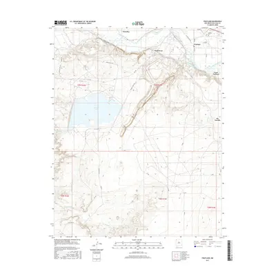
2017 Map of Fruitland
USGS Topo · Published 2017About this map
The San Juan River corridor serves as the vital lifeline for this arid region, sustaining the communities of Fruitland, Waterflow, and Nenahnezad. The landscape is defined by an intricate network of water management, where the Jewett Valley Ditch and the Fruitland Irrigation Canal trace the contours of the valley to support local agriculture. The presence of Morgan Lake to the west stands in contrast to the surrounding desert terrain, while the Kirtland Cem provides a point of interest for those researching local family histories.
Find a feature on this map
43 named features on this map. Tap any name to fly to it.
Don’t see what you’re looking for? This feature index may not catch every label — zoom into the map to look around manually.
Map Details
Editions of this 2017 Fruitland Map
This is the sole edition of this map. No revisions or reprints were ever made.
Other maps of this area

1889 · Chaco
USGS Topo · 1:250,000

1892 · Chaco
USGS Topo · 1:250,000

1927 · Sulphur Spring
USGS Topo · 1:96,000

1928 · Kirtland
USGS Topo · 1:125,000

1932 · Kirtland
USGS Topo · 1:125,000

1934 · Chimney Rock
USGS Topo · 1:62,500

1936 · Chimney Rock
USGS Topo · 1:62,500

1954 · Shiprock
USGS Topo · 1:250,000

1958 · Shiprock
USGS Topo · 1:250,000

1959 · Shiprock
USGS Topo · 1:250,000