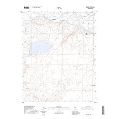
2023 Map of Fruitland
USGS Topo · Published 2023About this map
The San Juan River corridor in San Juan County defines the settlement patterns of this high desert region, where water management is central to the landscape. Extensive irrigation infrastructure, including the Fruitland Irrigation Canal, Jewett Valley Ditch, and Farmers Mutual Ditch, supports the communities of Fruitland, Waterflow, and Nenahnezad. These systems reflect a long history of agricultural reliance on the river's flow, carving arable land out of the arid surroundings near Stevens Arroyo.
Find a feature on this map
45 named features on this map. Tap any name to fly to it.
Don’t see what you’re looking for? This feature index may not catch every label — zoom into the map to look around manually.
Map Details
Editions of this 2023 Fruitland Map
This is the sole edition of this map. No revisions or reprints were ever made.
Other maps of this area

1889 · Chaco
USGS Topo · 1:250,000

1892 · Chaco
USGS Topo · 1:250,000

1927 · Sulphur Spring
USGS Topo · 1:96,000

1928 · Kirtland
USGS Topo · 1:125,000

1932 · Kirtland
USGS Topo · 1:125,000

1934 · Chimney Rock
USGS Topo · 1:62,500

1936 · Chimney Rock
USGS Topo · 1:62,500

1954 · Shiprock
USGS Topo · 1:250,000

1958 · Shiprock
USGS Topo · 1:250,000

1959 · Shiprock
USGS Topo · 1:250,000