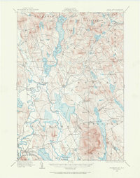
1909 Map of Fryeburg
USGS Topo · Published 1969About this map
The Saco River and its intricate network of lakes and ponds define this region of western Maine near the New Hampshire border at the turn of the century. The village of Fryeburg serves as a hub, connected by the Central White Mountains Line railroad and marked by the Battle Monument and local Fairgrounds. The landscape is dotted with small hilltop schoolhouses such as Union Hill School, Seavey School, and Black Mountain School, indicating a distributed rural population tied to the land and the timber around Kezar Lake.
Find a feature on this map
189 named features on this map. Tap any name to fly to it.
Don’t see what you’re looking for? This feature index may not catch every label — zoom into the map to look around manually.
Map Details
Editions of this 1909 Fryeburg Map
3 editions found
Other maps of this area

1893 · Gorham
USGS Topo · 1:62,500

1894 · North Conway
USGS Topo · 1:62,500

1896 · Norway
USGS Topo · 1:62,500

1896 · Sebago
USGS Topo · 1:62,500

1896 · North Conway
USGS Topo · 1:62,500

1896 · Gorham
USGS Topo · 1:62,500

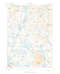
1909 · Fryeburg
USGS Topo · 1:62,500

1910 · Kezar Falls
USGS Topo · 1:48,000

1911 · Fryeburg
USGS Topo · 1:62,500

1911 · Kezar Falls
USGS Topo · 1:62,500