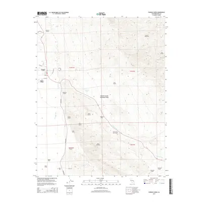
2015 Map of Furnace Creek
USGS Topo · Published 2015About this map
Furnace Creek and the settlement of Indian Village occupy the heart of this desert landscape, where water sources like Texas Springs and Travertine Springs provide vital points of relief against the arid terrain. The map traces the winding course of Furnace Cr Wash as it descends through Death Valley between the steep rises of the Funeral Mountains and the Black Mountains. This 2015 survey reveals the intricate topography of the Badlands, highlighting iconic landmarks such as Zabriskie Point, Manly Beacon, and the evocatively named Twenty Mule Team Canyon.
Find a feature on this map
34 named features on this map. Tap any name to fly to it.
Don’t see what you’re looking for? This feature index may not catch every label — zoom into the map to look around manually.
Map Details
Editions of this 2015 Furnace Creek Map
This is the sole edition of this map. No revisions or reprints were ever made.
Other maps of this area

1908 · Furnace Creek
USGS Topo · 1:250,000

1910 · Furnace Creek
USGS Topo · 1:250,000

1942 · Bullfrog
USGS Topo · 1:125,000

1948 · Death Valley
USGS Topo · 1:250,000

1952 · Chloride Cliff
USGS Topo · 1:50,000

1952 · Furnace Creek
USGS Topo · 1:62,500

1952 · Ryan
USGS Topo · 1:62,500

1952 · Big Dune
USGS Topo · 1:62,500

1954 · Death Valley
USGS Topo · 1:250,000

1956 · Death Valley
USGS Topo · 1:250,000