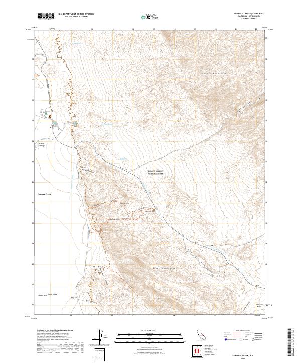
2021 Map of Furnace Creek
USGS Topo · Published 2021About this map
Indian Village and the Furnace Creek settlement serve as central hubs in this high-desert basin, where life and travel are dictated by the scarce presence of water and the orientation of dramatic geological breaks. The convergence of the Funeral Mountains and Black Mountains creates a landscape of deep washes and canyons, most notably the Furnace Cr Wash which channels through the center of the sheet. Modern infrastructure is represented by SR 190 and the Harmony Borax Furnace Creek Bike Path Trl, tracing old routes through the Mojave Desert.
Find a feature on this map
38 named features on this map. Tap any name to fly to it.
Don’t see what you’re looking for? This feature index may not catch every label — zoom into the map to look around manually.
Map Details
Editions of this 2021 Furnace Creek Map
This is the sole edition of this map. No revisions or reprints were ever made.
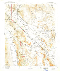
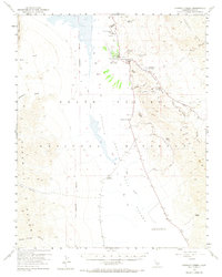
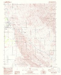
Historical Maps of Furnace Creek Through Time
5 maps found