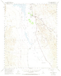
1952 Map of Furnace Creek
USGS Topo · Published 1968About this map
The Harmony Borax Works (Ruins) and nearby Indian Village anchor this mid-century look at one of the most extreme environments in the United States. Situated within the Death Valley National Monument, the survey captures the area during an era of transition as industrial relics and indigenous settlements existed alongside growing tourism landmarks like the Furnace Creek Inn and Furnace Creek Ranch. The landscape is dominated by the vast Death Valley (Depression) and the crystalline expanse of the Devils Golf Course, which contains the lowest elevation in U.S. 282 feet below sea level.
Find a feature on this map
41 named features on this map. Tap any name to fly to it.
Don’t see what you’re looking for? This feature index may not catch every label — zoom into the map to look around manually.
Map Details
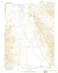
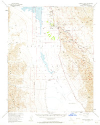
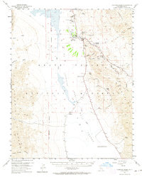
Editions of this 1952 Furnace Creek Map
5 editions found
Other maps of this area

1908 · Furnace Creek
USGS Topo · 1:250,000

1908 · Ballarat
USGS Topo · 1:250,000

1910 · Furnace Creek
USGS Topo · 1:250,000

1913 · Ballarat
USGS Topo · 1:250,000

1942 · Bullfrog
USGS Topo · 1:125,000

1948 · Death Valley
USGS Topo · 1:250,000

1951 · Funeral Peak
USGS Topo · 1:62,500

1952 · Chloride Cliff
USGS Topo · 1:50,000

1952 · Stovepipe Wells
USGS Topo · 1:62,500

1952 · Furnace Creek
USGS Topo · 1:62,500