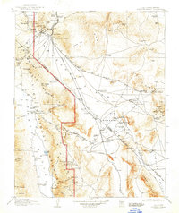
1910 Map of Furnace Creek
USGS Topo · Published 1947About this map
Mining operations and early railroad infrastructure define this arid landscape during the height of the regional gold and borax booms. The map showcases a dense network of industrial activity, including the Keane Wonder Mine and the Johnnie Mine, supported by the Las Vegas and Tonopah RR and the Tonopah and Tidewater RR cutting across the Amargosa Desert.
Find a feature on this map
129 named features on this map. Tap any name to fly to it.
Don’t see what you’re looking for? This feature index may not catch every label — zoom into the map to look around manually.
Map Details
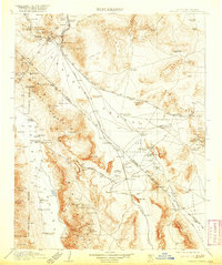
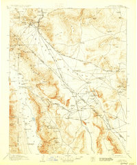
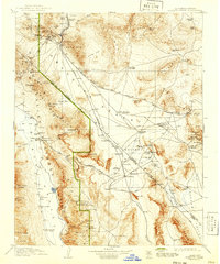
Editions of this 1910 Furnace Creek Map
5 editions found
Other maps of this area

1907 · Las Vegas
USGS Topo · 1:250,000

1908 · Kawich
USGS Topo · 1:250,000

1908 · Lida
USGS Topo · 1:250,000

1908 · Furnace Creek
USGS Topo · 1:250,000

1908 · Las Vegas
USGS Topo · 1:250,000

1908 · Ballarat
USGS Topo · 1:250,000

1910 · Furnace Creek
USGS Topo · 1:250,000

1910 · Ivanpah
USGS Topo · 1:250,000

1912 · Ivanpah
USGS Topo · 1:250,000

1913 · Lida
USGS Topo · 1:250,000