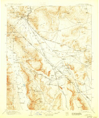
1910 Map of Furnace Creek
USGS Topo · Published 1930About this map
Rhyolite and Bullfrog stand as primary hubs in this desert landscape during a period of intense mineral exploration along the Nevada-California border. This survey, conducted just after the peak of the local mining boom, reveals the industrial footprint of the Keane Wonder Mine and the Lila C Mine amidst the striking topography of the Funeral Mountains. The transportation network is dominated by the Las Vegas and Tonopah RR and the Tonopah and Tidewater RR, which served the region's scattered settlements like Greenwater and Beatty. Water sources were critical for survival and industry, as seen in the sparse distribution of sites like Texas Spr, Hicks Hot Springs, and the Eagle Borax Works located near the basin floor. The map captures the era's reliance on isolated outposts such as Fairbanks Ranch and Davis Ranch to bridge the distances between major mining districts.
Find a feature on this map
122 named features on this map. Tap any name to fly to it.
Don’t see what you’re looking for? This feature index may not catch every label — zoom into the map to look around manually.
Map Details
Editions of this 1910 Furnace Creek Map
5 editions found
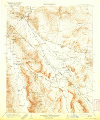
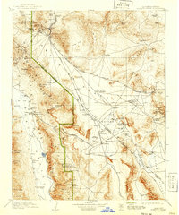
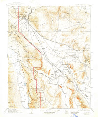
Other maps of this area

1907 · Las Vegas
USGS Topo · 1:250,000

1908 · Kawich
USGS Topo · 1:250,000

1908 · Lida
USGS Topo · 1:250,000

1908 · Furnace Creek
USGS Topo · 1:250,000

1908 · Las Vegas
USGS Topo · 1:250,000

1908 · Ballarat
USGS Topo · 1:250,000

1910 · Furnace Creek
USGS Topo · 1:250,000

1910 · Ivanpah
USGS Topo · 1:250,000

1912 · Ivanpah
USGS Topo · 1:250,000

1913 · Lida
USGS Topo · 1:250,000