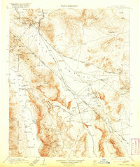
1910 Map of Furnace Creek
USGS Topo · Published 1920About this map
Rhyolite and the mining districts of Bullfrog anchor the northern landscape of this survey, conducted during a period of intense prospecting and rail expansion along the California-Nevada border. The infrastructure of the era is clearly marked by the Tonopah and Tidewater RR and the Tonopah and Las Vegas RR cutting across the Amargosa Desert. These routes serviced critical resource points like the Lila C Mine and the Borax Mill, illustrating the industrial scale of extraction in the early 20th century.
Find a feature on this map
115 named features on this map. Tap any name to fly to it.
Don’t see what you’re looking for? This feature index may not catch every label — zoom into the map to look around manually.
Map Details
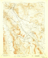
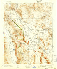
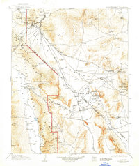
Editions of this 1910 Furnace Creek Map
5 editions found
Other maps of this area

1907 · Las Vegas
USGS Topo · 1:250,000

1908 · Kawich
USGS Topo · 1:250,000

1908 · Lida
USGS Topo · 1:250,000

1908 · Furnace Creek
USGS Topo · 1:250,000

1908 · Las Vegas
USGS Topo · 1:250,000

1908 · Ballarat
USGS Topo · 1:250,000

1910 · Furnace Creek
USGS Topo · 1:250,000

1910 · Ivanpah
USGS Topo · 1:250,000

1912 · Ivanpah
USGS Topo · 1:250,000

1913 · Lida
USGS Topo · 1:250,000