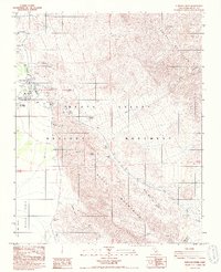
1988 Map of Furnace Creek
USGS Topo · Published 1988About this map
The industrial and social heritage of the Death Valley National Monument is centered here at the historical crossroads of the Funeral Mountains and the Black Mountains. Near the head of Middle Basin, the remnants of the Harmony Borax Works (Ruins) stand as a physical record of the region’s mining past. This 1980s landscape shows the transition from extractive industry to tourism, anchored by the Furnace Creek Ranch (Death Valley PO) and the Furnace Creek Inn.
Find a feature on this map
37 named features on this map. Tap any name to fly to it.
Don’t see what you’re looking for? This feature index may not catch every label — zoom into the map to look around manually.
Map Details
Editions of this 1988 Furnace Creek Map
2 editions found
Other maps of this area

1908 · Furnace Creek
USGS Topo · 1:250,000

1910 · Furnace Creek
USGS Topo · 1:250,000

1942 · Bullfrog
USGS Topo · 1:125,000

1948 · Death Valley
USGS Topo · 1:250,000

1952 · Chloride Cliff
USGS Topo · 1:50,000

1952 · Furnace Creek
USGS Topo · 1:62,500

1952 · Ryan
USGS Topo · 1:62,500

1952 · Big Dune
USGS Topo · 1:62,500

1954 · Death Valley
USGS Topo · 1:250,000

1956 · Death Valley
USGS Topo · 1:250,000