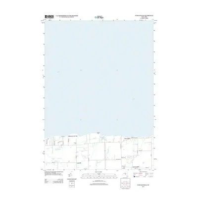
2013 Map of Furnaceville
USGS Topo · Published 2013About this map
Lake Ontario dominates the northern horizon of this coastal landscape, where the shoreline is punctuated by Smoky Point and the Town of Ontario Boat Landing. Inland, the settlement pattern reflects a transition from lakeside seasonal communities like Ontario on the Lake to established agricultural and small-town centers such as Lakeside and Furnaceville. The name Furnaceville hints at the region's industrial heritage, while the presence of the Albright Fruit Farm underscores the importance of the Great Lakes fruit belt in Wayne County.
Find a feature on this map
34 named features on this map. Tap any name to fly to it.
Don’t see what you’re looking for? This feature index may not catch every label — zoom into the map to look around manually.
Map Details
Editions of this 2013 Furnaceville Map
This is the sole edition of this map. No revisions or reprints were ever made.
Other maps of this area

1899 · Palmyra
USGS Topo · 1:62,500

1900 · Macedon
USGS Topo · 1:62,500

1902 · Pultneyville
USGS Topo · 1:62,500

1902 · Palmyra
USGS Topo · 1:62,500

1932 · Webster
USGS Topo · 1:24,000
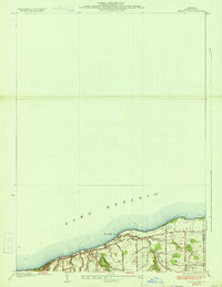
1934 · Ninemile Point
USGS Topo · 1:24,000

1934 · Webster
USGS Topo · 1:24,000

1942 · Ontario
USGS Topo · 1:31,680

1942 · Pultneyville
USGS Topo · 1:31,680

1943 · Williamson
USGS Topo · 1:31,680