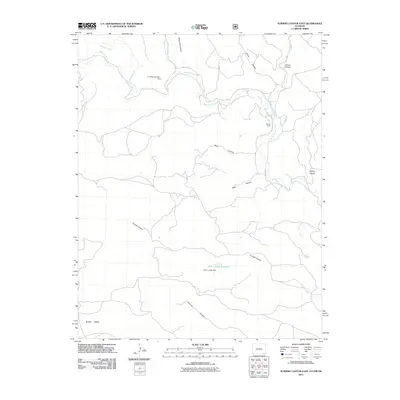
2011 Map of Furnish Canyon East
USGS Topo · Published 2011About this map
Black Mesa anchors the southwest corner of this high-plains landscape, where the topography is defined by a dense network of drainage channels cutting through the arid terrain. The Dunlap Ranch stands as a primary point of human settlement in a region characterized by its ranching infrastructure and water management. Early 21st-century water control is evident through features like the A F Mizer Number 1 Dam on West Carrizo Creek and the John L Jones Reservoir further south, demonstrating the critical importance of riparian management in this portion of Las Animas County. The map captures a transition between the elevated mesa and deep-cut features such as Deep Hole Canyon and Skull Canyon, which feed into the larger Carrizo Creek system.
Find a feature on this map
20 named features on this map. Tap any name to fly to it.
Don’t see what you’re looking for? This feature index may not catch every label — zoom into the map to look around manually.
Map Details
Editions of this 2011 Furnish Canyon East Map
This is the sole edition of this map. No revisions or reprints were ever made.
Other maps of this area

1891 · Springfield
USGS Topo · 1:125,000

1892 · Mt Carrizo
USGS Topo · 1:125,000

1893 · Springfield
USGS Topo · 1:125,000

1954 · Dalhart
USGS Topo · 1:250,000

1955 · La Junta
USGS Topo · 1:250,000

1958 · La Junta
USGS Topo · 1:250,000

1958 · Dalhart
USGS Topo · 1:250,000

1962 · Dalhart
USGS Topo · 1:250,000

1968 · La Junta
USGS Topo · 1:250,000

1968 · Kenton
USGS Topo · 1:24,000