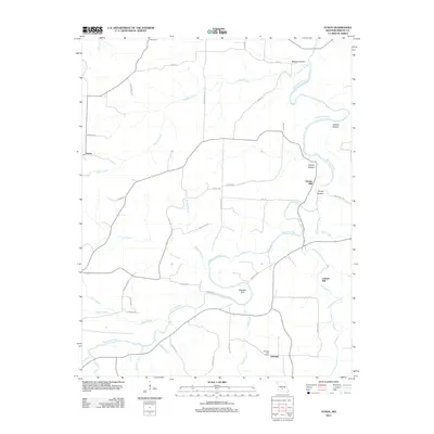
2011 Map of Fuson
USGS Topo · Published 2011About this map
Grimes Mill and Latham Mill stand as markers of a water-powered past along the winding Gasconade River and its tributaries in Wright County. The landscape is defined by the sharp relief of numerous hollows, including Wildcat Hollow, Garner Hollow, and Young Hollow, which feed into a complex drainage system featuring Coon Creek and Whetstone Creek. The settlement patterns here are modest, centered around the community of Fuson in the west and Talmage to the south, where the Talmage Post Office remains a noted landmark. The river itself creates distinctive geographical features such as the Needles Eye, a sharp bend that illustrates the meandering nature of the Ozark waterways. A network of rural routes, from Coon Creek Rd to Grimes Mill Dr, connects these isolated homesteads and historical mill sites, providing a look at the infrastructure of this Missouri river valley during the early twenty-first century.
Find a feature on this map
45 named features on this map. Tap any name to fly to it.
Don’t see what you’re looking for? This feature index may not catch every label — zoom into the map to look around manually.
Map Details
Editions of this 2011 Fuson Map
This is the sole edition of this map. No revisions or reprints were ever made.
Other maps of this area

1931 · Manes
USGS Topo · 1:48,000

1941 · Manes
USGS Topo · 1:62,500

1943 · Manes
USGS Topo · 1:62,500

1951 · Mountain Grove North
USGS Topo · 1:24,000

1951 · Owens
USGS Topo · 1:24,000

1951 · Mansfield NE
USGS Topo · 1:24,000

1951 · Mountain Grove
USGS Topo · 1:62,500

1954 · Springfield
USGS Topo · 1:250,000
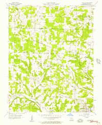
1956 · Hartville
USGS Topo · 1:24,000
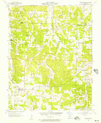
1956 · Grovespring
USGS Topo · 1:24,000