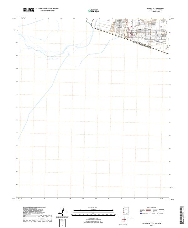
2021 Map of Gadsden OE S
USGS Topo · Published 2021About this map
The international border between the United States of America Estados Unidos Mexicanos defines the character of this 2021 survey, centered on the growing urban grid of San Luis. Located within the Yuma Valley, the settlement pattern reflects its critical position at the edge of the Sonoran Desert. The map reveals a dense residential and commercial network organized around prominent thoroughfares like Cesar Chavez St and Main St.
Find a feature on this map
40 named features on this map. Tap any name to fly to it.
Don’t see what you’re looking for? This feature index may not catch every label — zoom into the map to look around manually.
Map Details
Editions of this 2021 Gadsden OE S Map
This is the sole edition of this map. No revisions or reprints were ever made.
Other maps of this area

1903 · Yuma
USGS Topo · 1:125,000

1905 · Yuma
USGS Topo · 1:125,000

1940 · Yuma
USGS Topo · 1:62,500

1942 · Yuma
USGS Topo · 1:250,000

1945 · Yuma
USGS Topo · 1:62,500

1954 · El Centro
USGS Topo · 1:250,000

1955 · El Centro
USGS Topo · 1:250,000

1958 · El Centro
USGS Topo · 1:250,000

1961 · El Centro
USGS Topo · 1:250,000

1964 · El Centro
USGS Topo · 1:250,000