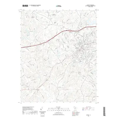
2020 Map of Gaffney
USGS Topo · Published 2020About this map
Gaffney serves as the focal point of this Cherokee County survey, where the historic campus of Limestone College and the Cherokee County Courthouse anchor the town center. The landscape is defined by a dense network of watercourses, including Cherokee Cr and Thicketty Cr, which drain the undulating terrain marked by Queens Ridge. To the west, the smaller settlement of Thicketty sits near the confluence of several creeks, illustrating the region's traditional reliance on these natural drainage patterns for early development.
Find a feature on this map
275 named features on this map. Tap any name to fly to it.
Don’t see what you’re looking for? This feature index may not catch every label — zoom into the map to look around manually.
Map Details
Editions of this 2020 Gaffney Map
This is the sole edition of this map. No revisions or reprints were ever made.
Other maps of this area

1909 · Gaffney
USGS Topo · 1:62,500

1941 · Spartanburg
USGS Topo · 1:250,000

1947 · Spartanburg
USGS Topo · 1:62,500

1949 · Spartanburg
USGS Topo · 1:62,500

1953 · Spartanburg
USGS Topo · 1:250,000

1953 · Charlotte
USGS Topo · 1:250,000

1954 · Charlotte
USGS Topo · 1:250,000

1959 · Cowpens
USGS Topo · 1:62,500

1960 · Charlotte
USGS Topo · 1:250,000

1960 · Spartanburg
USGS Topo · 1:250,000