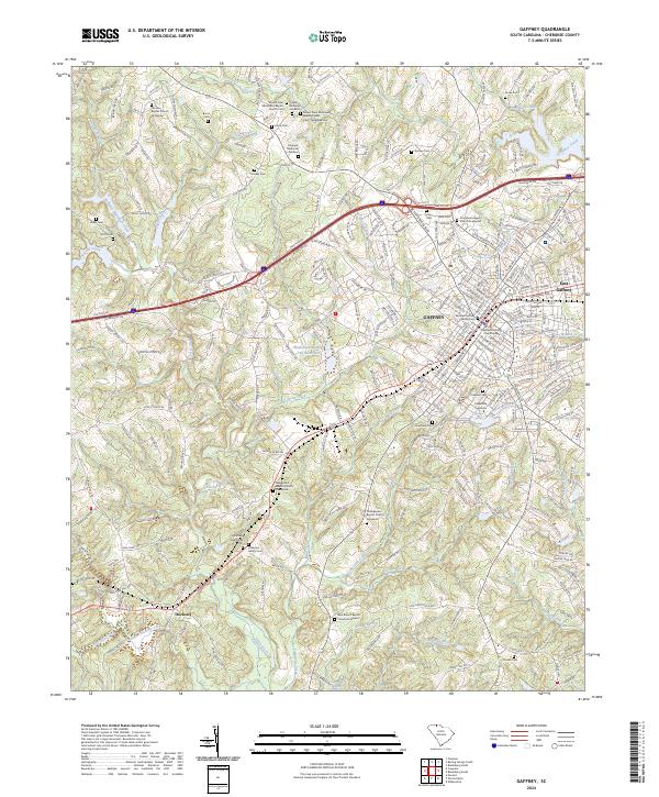
2024 Map of Gaffney
USGS Topo · Published 2024About this map
Gaffney serves as the central hub of Cherokee County on this contemporary survey, characterized by its historical core and educational landmarks. The footprint of Limestone University and the Cherokee County Courthouse anchor the city center, while the Michael Gaffney Family Cem preserves the memory of the city's namesake. To the east, East Gaffney extends the residential reach toward the waters of Peoples Creek.
Find a feature on this map
248 named features on this map. Tap any name to fly to it.
Don’t see what you’re looking for? This feature index may not catch every label — zoom into the map to look around manually.
Map Details
Editions of this 2024 Gaffney Map
This is the sole edition of this map. No revisions or reprints were ever made.
Other maps of this area
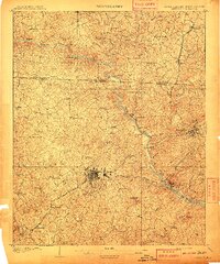
1909 · Gaffney
USGS Topo · 1:62,500

1941 · Spartanburg
USGS Topo · 1:250,000
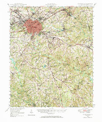
1947 · Spartanburg
USGS Topo · 1:62,500
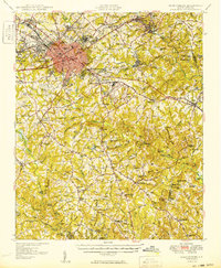
1949 · Spartanburg
USGS Topo · 1:62,500

1953 · Spartanburg
USGS Topo · 1:250,000

1953 · Charlotte
USGS Topo · 1:250,000

1954 · Charlotte
USGS Topo · 1:250,000
1959 · Cowpens
USGS Topo · 1:62,500

1960 · Charlotte
USGS Topo · 1:250,000

1960 · Spartanburg
USGS Topo · 1:250,000