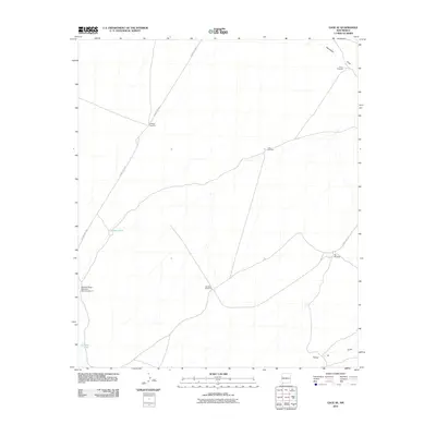
2010 Map of Gage SE
USGS Topo · Published 2010About this map
The arid landscape of southern New Mexico's High Desert defines this area, where survival and settlement are etched into the map through water infrastructure. Named windmills, such as Klondike Windmill and Halfway Windmill, serve as the primary landmarks across the terrain, indicating the importance of groundwater for cattle and habitation in this corner of Luna County. Infrastructure for water management is further evidenced by the Palomas Draw Retention Dam Number 7, positioned to manage runoff in an environment where moisture is infrequent and ephemeral.
Find a feature on this map
15 named features on this map. Tap any name to fly to it.
Don’t see what you’re looking for? This feature index may not catch every label — zoom into the map to look around manually.
Map Details
Editions of this 2010 Gage SE Map
This is the sole edition of this map. No revisions or reprints were ever made.
Other maps of this area

1899 · Deming
USGS Topo · 1:125,000

1915 · Deming
USGS Topo · 1:125,000

1917 · Hermanas
USGS Topo · 1:62,500

1918 · Hermanas
USGS Topo · 1:62,500

1918 · Victorio
USGS Topo · 1:62,500

1943 · Hermanas
USGS Topo · 1:62,500

1953 · El Paso
USGS Topo · 1:250,000

1954 · Silver City
USGS Topo · 1:250,000

1955 · Douglas
USGS Topo · 1:250,000

1955 · Las Cruces
USGS Topo · 1:250,000