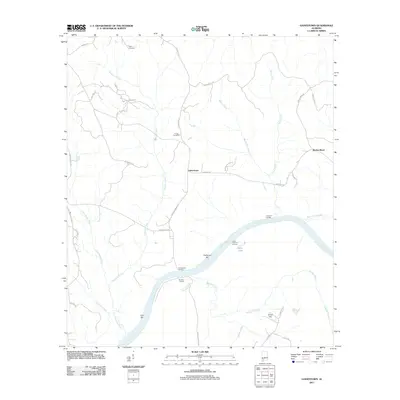
2011 Map of Gainestown
USGS Topo · Published 2011About this map
Gainestown and the nearby settlement of Barlow Bend are situated along a prominent curve of the Alabama River in Clarke County. This 2011 survey illustrates a landscape defined by its riverine geography, featuring multiple historic river access points such as Gainestown Landing, Eureka Landing, and Lombard Landing. These landings, along with navigational hazards or landmarks like California Bar and Irvin Bar, reflect the enduring importance of the river for transport and commerce in this part of Alabama.
Find a feature on this map
44 named features on this map. Tap any name to fly to it.
Don’t see what you’re looking for? This feature index may not catch every label — zoom into the map to look around manually.
Map Details
Editions of this 2011 Gainestown Map
This is the sole edition of this map. No revisions or reprints were ever made.
Other maps of this area

1943 · Choctaw Bluff
USGS Topo · 1:62,500

1946 · Choctaw Bluff
USGS Topo · 1:62,500

1953 · Andalusia
USGS Topo · 1:250,000

1957 · Andalusia
USGS Topo · 1:250,000

1972 · Chrysler
USGS Topo · 1:24,000

1972 · Uriah West
USGS Topo · 1:24,000

1972 · Flynns Lake
USGS Topo · 1:24,000

1972 · Gainestown
USGS Topo · 1:24,000

1972 · Claiborne
USGS Topo · 1:24,000

1972 · Suggsville
USGS Topo · 1:24,000