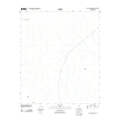
2011 Map of Gakolik Mountains
USGS Topo · Published 2011About this map
Gakolik Mountains and the Sikort Chuapo Mountains anchor this desert landscape within the Tohono O'odham Nation territory. The topography is defined by the broad basin of Needle Valley, where ephemeral drainages flow toward the small settlement of Charco in the southwestern corner. This 2011 survey captures the area’s limited infrastructure, primarily centered on Indian Rte 34, which cuts diagonally across the northeastern portion of the quadrangle. The map reveals a land characterized by dramatic elevation shifts and seasonal water management, essential for life in this arid portion of Pima County.
Find a feature on this map
5 named features on this map. Tap any name to fly to it.
Don’t see what you’re looking for? This feature index may not catch every label — zoom into the map to look around manually.
Map Details
Editions of this 2011 Gakolik Mountains Map
This is the sole edition of this map. No revisions or reprints were ever made.
Other maps of this area

1953 · Ajo
USGS Topo · 1:250,000

1957 · Ajo
USGS Topo · 1:250,000

1958 · Ajo
USGS Topo · 1:250,000

1962 · Ajo
USGS Topo · 1:250,000

1963 · Ajo
USGS Topo · 1:250,000

1963 · Sikort Chuapo Mts
USGS Topo · 1:62,500

1963 · Mt. Ajo
USGS Topo · 1:62,500

1963 · Cimarron Peak
USGS Topo · 1:62,500

1963 · Pisinimo
USGS Topo · 1:62,500

1967 · Ajo
USGS Topo · 1:250,000