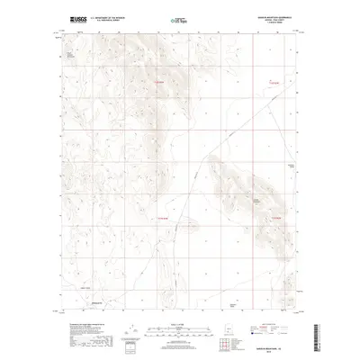
2018 Map of Gakolik Mountains
USGS Topo · Published 2018About this map
Hotason Vo sits at the southern edge of this desert landscape, where the shifting sands and arid plains of the Quijotoa Valley meet the rising slopes of the Gakolik Mountains. This 2018 survey documents a region defined by dramatic topographic contrasts, from the broad Hickiwan Valley in the east to the Sikort Chuapo Mountains in the northwest corner. A single primary artery, Indian Rte 34, cuts diagonally across the center of the sheet, providing the essential transport link through this portion of Pima County. The map details a complex network of ephemeral drainage patterns and varying elevations, including the distinct terrain of Needle Valley. This area represents a critical portion of the Tohono O'odham Nation, where traditional place names like Hotason Vo persist alongside modern infrastructure and the original township and range divisions of the Public Land Survey System.
Find a feature on this map
11 named features on this map. Tap any name to fly to it.
Don’t see what you’re looking for? This feature index may not catch every label — zoom into the map to look around manually.
Map Details
Editions of this 2018 Gakolik Mountains Map
This is the sole edition of this map. No revisions or reprints were ever made.
Other maps of this area

1953 · Ajo
USGS Topo · 1:250,000

1957 · Ajo
USGS Topo · 1:250,000

1958 · Ajo
USGS Topo · 1:250,000

1962 · Ajo
USGS Topo · 1:250,000

1963 · Ajo
USGS Topo · 1:250,000

1963 · Sikort Chuapo Mts
USGS Topo · 1:62,500

1963 · Mt. Ajo
USGS Topo · 1:62,500

1963 · Cimarron Peak
USGS Topo · 1:62,500

1963 · Pisinimo
USGS Topo · 1:62,500

1967 · Ajo
USGS Topo · 1:250,000