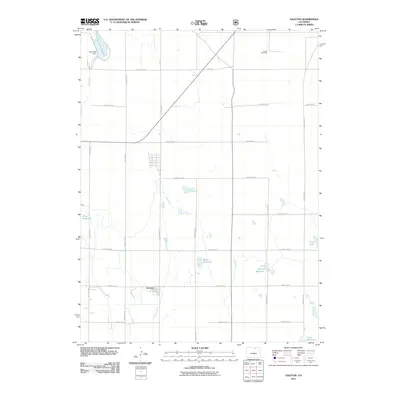
2011 Map of Galeton
USGS Topo · Published 2011About this map
Agricultural water management and a grid of rural county roads define this portion of Weld County in the early 21st century. The small settlement of Galeton sits at the intersection of County Rd 74 and County Rd 51, serving as a focal point for the surrounding plains. The landscape is heavily marked by irrigation and storage infrastructure essential for local farming, including the long course of the Eaton Ditch and several named catchments such as Mason Reservoir and Cole Reservoir. To the north, the Owl Creek Dam contains the Owl Creek Reservoir, while the presence of the Atwell Windmill indicates the historical and ongoing reliance on groundwater. This network of reservoirs, including Allison Reservoir and Shaw Reservoir, reveals the engineered nature of the high plains environment, where natural drainages like Willow Creek are augmented by extensive man-made storage systems.
Find a feature on this map
27 named features on this map. Tap any name to fly to it.
Don’t see what you’re looking for? This feature index may not catch every label — zoom into the map to look around manually.
Map Details
Editions of this 2011 Galeton Map
This is the sole edition of this map. No revisions or reprints were ever made.
Other maps of this area

1902 · Greeley
USGS Topo · 1:125,000

1908 · Eaton
USGS Topo · 1:125,000

1910 · Eaton
USGS Topo · 1:125,000

1950 · Greeley
USGS Topo · 1:24,000

1950 · Kersey
USGS Topo · 1:24,000

1950 · Barnesville
USGS Topo · 1:24,000

1954 · Greeley
USGS Topo · 1:250,000

1957 · Greeley
USGS Topo · 1:250,000

1958 · Greeley
USGS Topo · 1:250,000

1960 · Purcell
USGS Topo · 1:24,000