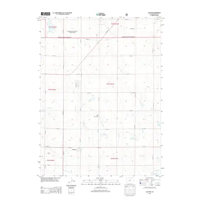
2013 Map of Galeton
USGS Topo · Published 2013About this map
Pawnee National Grassland dominates the northern landscape of this region, where the high plains meet a complex network of agricultural water management. The small settlement of Galeton sits at a crossroads in the southern portion of the sheet, served by the irrigation infrastructure of the Eaton Ditch and Greeley Number 2 Canal. This area of Weld County is defined by its water storage, featuring numerous named catchments such as Mason Reservoir, Allison Reservoir, and John Keller Reservoir. The map illustrates a rural economy reliant on these water systems to support operations like Johnson Dairy and the small Hay Fever Farm Airport. Local landmarks like the Atwell Windmill and the winding course of Willow Creek provide specific points of interest for those tracing the development of the northern Colorado prairie.
Find a feature on this map
33 named features on this map. Tap any name to fly to it.
Don’t see what you’re looking for? This feature index may not catch every label — zoom into the map to look around manually.
Map Details
Editions of this 2013 Galeton Map
This is the sole edition of this map. No revisions or reprints were ever made.
Other maps of this area

1902 · Greeley
USGS Topo · 1:125,000

1908 · Eaton
USGS Topo · 1:125,000

1910 · Eaton
USGS Topo · 1:125,000

1950 · Greeley
USGS Topo · 1:24,000

1950 · Kersey
USGS Topo · 1:24,000

1950 · Barnesville
USGS Topo · 1:24,000

1954 · Greeley
USGS Topo · 1:250,000

1957 · Greeley
USGS Topo · 1:250,000

1958 · Greeley
USGS Topo · 1:250,000

1960 · Purcell
USGS Topo · 1:24,000