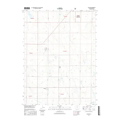
2016 Map of Galeton
USGS Topo · Published 2016About this map
Galeton serves as the primary settlement hub in this section of Weld County, positioned where Main St meets the rural road network. The landscape is defined by an extensive water management system essential for high-plains agriculture, featuring the Greeley Number 2 Canal and the Eaton Ditch. These waterways feed numerous local catchments, including the John Keller Reservoir, Mason Reservoir, and Allison Reservoir, illustrating the area's long-standing reliance on irrigation infrastructure. To the northeast, the terrain transitions into the protected open expanse of the Pawnee National Grassland. Aviation history and local commerce are represented by the uniquely named Hay Fever Farm Airport, while several water bodies like Faber Reservoir and Owl Cr Reservoir provide geographical anchors for land surveys across the various township and range divisions.
Find a feature on this map
32 named features on this map. Tap any name to fly to it.
Don’t see what you’re looking for? This feature index may not catch every label — zoom into the map to look around manually.
Map Details
Editions of this 2016 Galeton Map
This is the sole edition of this map. No revisions or reprints were ever made.
Other maps of this area

1902 · Greeley
USGS Topo · 1:125,000

1908 · Eaton
USGS Topo · 1:125,000

1910 · Eaton
USGS Topo · 1:125,000

1950 · Greeley
USGS Topo · 1:24,000

1950 · Kersey
USGS Topo · 1:24,000

1950 · Barnesville
USGS Topo · 1:24,000

1954 · Greeley
USGS Topo · 1:250,000

1957 · Greeley
USGS Topo · 1:250,000

1958 · Greeley
USGS Topo · 1:250,000

1960 · Purcell
USGS Topo · 1:24,000