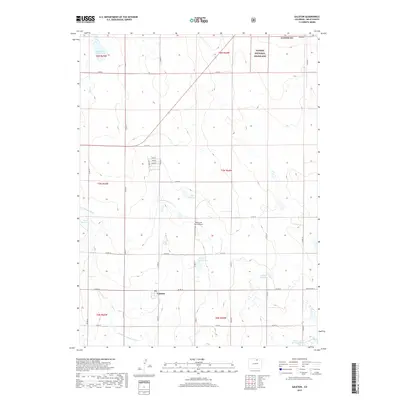
2019 Map of Galeton
USGS Topo · Published 2019About this map
Galeton serves as the primary hub of this high plains agricultural landscape in northern Colorado. The town’s layout, defined by Main St, Railroad St, and Blvd A, reflects its development alongside transportation corridors and the vital irrigation networks of the region. This dependency on water management is evident in the numerous water storage and transport systems scattered across the township, including the Greeley Number 2 Canal, Eaton Ditch, and several large-scale impoundments such as Mason Reservoir and Allison Reservoir. To the northeast, the terrain transitions into the Pawnee National Grassland, highlighting the boundary between cultivated farmland and protected prairie. The area’s rural character is further punctuated by aviation history at the Hay Fever Farm Airport, situated north of Weld Co Rd 74.
Find a feature on this map
40 named features on this map. Tap any name to fly to it.
Don’t see what you’re looking for? This feature index may not catch every label — zoom into the map to look around manually.
Map Details
Editions of this 2019 Galeton Map
This is the sole edition of this map. No revisions or reprints were ever made.
Other maps of this area

1902 · Greeley
USGS Topo · 1:125,000

1908 · Eaton
USGS Topo · 1:125,000

1910 · Eaton
USGS Topo · 1:125,000

1950 · Greeley
USGS Topo · 1:24,000

1950 · Kersey
USGS Topo · 1:24,000

1950 · Barnesville
USGS Topo · 1:24,000

1954 · Greeley
USGS Topo · 1:250,000

1957 · Greeley
USGS Topo · 1:250,000

1958 · Greeley
USGS Topo · 1:250,000

1960 · Purcell
USGS Topo · 1:24,000