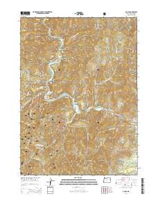
2014 Map of Galice
USGS Topo · Published 2014About this map
Galice and the nearby settlement of Rand occupy the narrow banks of the Rogue River as it carves through the southern Oregon mountains. This 2014 survey captures a landscape defined by dramatic river geography, from the sweeping turns at Almeda Bar to the restricted passage of Hellgate Canyon. The region's historical connection to resource extraction and forest management is evident in the presence of Old Channel and Black Bear Mine Rd, while the massive Siskiyou National Forest boundary dominates the southwestern quadrant. Topographically, the map is a dense network of gulches and creeks, including Taylor Creek and Galice Creek, which drain the heights of Buckhorn Mtn. The infrastructure supporting this river corridor is anchored by Galice Rd and the prominent Hellgate Bridge, which provides a vital crossing point over the deep water of Blue Canyon.
Find a feature on this map
63 named features on this map. Tap any name to fly to it.
Don’t see what you’re looking for? This feature index may not catch every label — zoom into the map to look around manually.
Map Details
Editions of this 2014 Galice Map
This is the sole edition of this map. No revisions or reprints were ever made.
Other maps of this area

1904 · Riddle
USGS Topo · 1:125,000

1908 · Grants Pass
USGS Topo · 1:125,000

1917 · Kerby
USGS Topo · 1:125,000

1918 · Kerby
USGS Topo · 1:125,000

1945 · Kerby
USGS Topo · 1:125,000

1946 · Galice
USGS Topo · 1:62,500

1948 · Galice
USGS Topo · 1:62,500

1954 · Glendale
USGS Topo · 1:62,500

1954 · Selma
USGS Topo · 1:62,500

1954 · Grants Pass
USGS Topo · 1:62,500