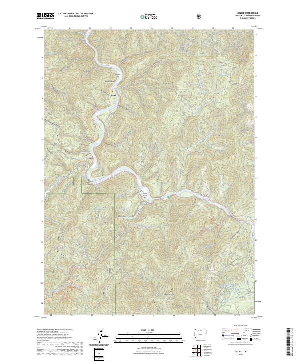
2023 Map of Galice
USGS Topo · Published 2023About this map
The Rogue Wild and Scenic River carves a deep path through the Siskiyou National Forest, serving as the central artery for this remote portion of Josephine County. The settlement of Galice sits along the river's edge, marked by its proximity to the Taylor Creek Bar and the dramatic Taylor Creek Gorge. Further north, the river passes the small community of Rand and flows around Marks Island, while the surrounding terrain is a dense network of steep drainages including Hellgate Canyon and Centennial Gulch. This 2023 survey provides a contemporary view of the region's topography, highlighting the numerous bars and islands, such as Almeda Bar and Carpenters Island, that characterize the river's course. The landscape is defined by its significant relief, rising toward Buckhorn Mtn and the various gulches that feed into the Rogue and Galice Creek.
Find a feature on this map
72 named features on this map. Tap any name to fly to it.
Don’t see what you’re looking for? This feature index may not catch every label — zoom into the map to look around manually.
Map Details
Editions of this 2023 Galice Map
This is the sole edition of this map. No revisions or reprints were ever made.
Other maps of this area

1904 · Riddle
USGS Topo · 1:125,000

1908 · Grants Pass
USGS Topo · 1:125,000

1917 · Kerby
USGS Topo · 1:125,000

1918 · Kerby
USGS Topo · 1:125,000

1945 · Kerby
USGS Topo · 1:125,000

1946 · Galice
USGS Topo · 1:62,500

1948 · Galice
USGS Topo · 1:62,500

1954 · Glendale
USGS Topo · 1:62,500

1954 · Selma
USGS Topo · 1:62,500

1954 · Grants Pass
USGS Topo · 1:62,500