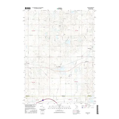
2017 Map of Galien
USGS Topo · Published 2017About this map
The Galien River and its various tributaries, including the Judy Lake Drain and Geyer Ditch, dominate the hydrology of this southwestern Michigan landscape. In this modern survey, the village of Galien and the settlement of Dayton serve as local hubs, while the western edge of Buchanan appears at the eastern margin. The terrain is a complex patchwork of wetlands and small glacial lakes, such as Madron Lake, Indian Lake, and Dayton Lake.
Find a feature on this map
103 named features on this map. Tap any name to fly to it.
Don’t see what you’re looking for? This feature index may not catch every label — zoom into the map to look around manually.
Map Details
Editions of this 2017 Galien Map
This is the sole edition of this map. No revisions or reprints were ever made.
Other maps of this area

1927 · Niles
USGS Topo · 1:62,500

1930 · Three Oaks
USGS Topo · 1:62,500

1930 · Niles
USGS Topo · 1:62,500

1943 · Niles
USGS Topo · 1:62,500

1944 · Three Oaks
USGS Topo · 1:62,500

1953 · Chicago
USGS Topo · 1:250,000

1957 · Chicago
USGS Topo · 1:250,000

1958 · South Bend West
USGS Topo · 1:24,000

1958 · Lydick
USGS Topo · 1:24,000

1958 · New Carlisle
USGS Topo · 1:24,000