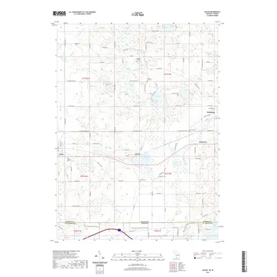
2019 Map of Galien
USGS Topo · Published 2019About this map
The Galien River and its northern branch wind through this corner of Berrien County, defining a landscape of glacial lakes and small agricultural settlements. The village of Galien and the hamlet of Dayton serve as local hubs, connected by a network of rural roads such as W Galien Buchanan Rd and Buffalo Rd. Local history is deeply etched into the land through several burial grounds, including Galien Township Cem, Bakertown Cem, and the Stevens Farm Cem.
Find a feature on this map
78 named features on this map. Tap any name to fly to it.
Don’t see what you’re looking for? This feature index may not catch every label — zoom into the map to look around manually.
Map Details
Editions of this 2019 Galien Map
This is the sole edition of this map. No revisions or reprints were ever made.
Other maps of this area

1927 · Niles
USGS Topo · 1:62,500

1930 · Three Oaks
USGS Topo · 1:62,500

1930 · Niles
USGS Topo · 1:62,500

1943 · Niles
USGS Topo · 1:62,500

1944 · Three Oaks
USGS Topo · 1:62,500

1953 · Chicago
USGS Topo · 1:250,000

1957 · Chicago
USGS Topo · 1:250,000

1958 · South Bend West
USGS Topo · 1:24,000

1958 · Lydick
USGS Topo · 1:24,000

1958 · New Carlisle
USGS Topo · 1:24,000