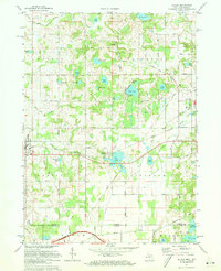
1971 Map of Galien
USGS Topo · Published 1973About this map
Galien and the surrounding borderlands of Berrien Co appear at a point of transition in the early 1970s, where the agricultural landscape of southern Michigan meets the northern edge of Indiana. The Galien River meanders across the central portion of the map, carving through a region densely populated with small kettle lakes such as Madron Lake, Garwood Lake, and Wagner Lake. This watery geography dictates the settlement patterns, with small clusters like Bakertown and the western outskirts of Buchanan situated near these natural resources.
Find a feature on this map
55 named features on this map. Tap any name to fly to it.
Don’t see what you’re looking for? This feature index may not catch every label — zoom into the map to look around manually.
Map Details
Editions of this 1971 Galien Map
This is the sole edition of this map. No revisions or reprints were ever made.
Other maps of this area

1927 · Niles
USGS Topo · 1:62,500

1930 · Three Oaks
USGS Topo · 1:62,500

1930 · Niles
USGS Topo · 1:62,500

1943 · Niles
USGS Topo · 1:62,500

1944 · Three Oaks
USGS Topo · 1:62,500

1953 · Chicago
USGS Topo · 1:250,000

1957 · Chicago
USGS Topo · 1:250,000

1958 · South Bend West
USGS Topo · 1:24,000

1958 · Lydick
USGS Topo · 1:24,000

1958 · New Carlisle
USGS Topo · 1:24,000