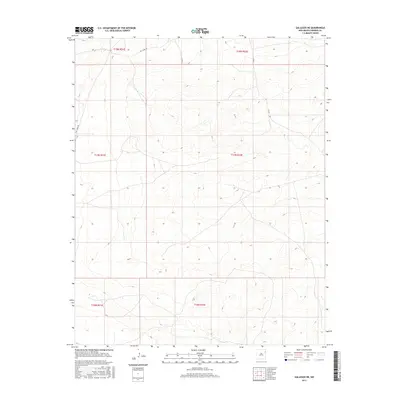
2017 Map of Gallegos NE
USGS Topo · Published 2017About this map
High plains topography and section-line road networks characterize this portion of Harding County. Remote county access via Salt Lakes Rd, Co Rd J-2, and Co Rd I provides the primary infrastructure through the vast rangeland. The map illustrates the Public Land Survey System grid with the intersection of various townships including t18n r31e, t18n r32e, and t17n r31e. This layout reflects the late-period organizational structure of rural New Mexico, where the landscape is defined more by cadastral boundaries and sparse cattle roads than by concentrated settlements. The elevation contours reveal the gentle undulations of the tablelands typical of the northeastern corner of the state.
Find a feature on this map
9 named features on this map. Tap any name to fly to it.
Don’t see what you’re looking for? This feature index may not catch every label — zoom into the map to look around manually.
Map Details
Editions of this 2017 Gallegos NE Map
This is the sole edition of this map. No revisions or reprints were ever made.
Other maps of this area

1954 · Tucumcari
USGS Topo · 1:250,000

1958 · Tucumcari
USGS Topo · 1:250,000

1966 · Rosebud
USGS Topo · 1:24,000

1966 · Mc Carty Ranch
USGS Topo · 1:24,000

1966 · Mc Cloy Ranch
USGS Topo · 1:24,000

1969 · Gallegos
USGS Topo · 1:24,000

1969 · Gallegos NE
USGS Topo · 1:24,000

1969 · Buffalo Springs
USGS Topo · 1:24,000
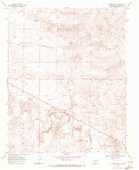
1969 · Fuentes Ranch
USGS Topo · 1:24,000

1973 · Circle Bar Ranch
USGS Topo · 1:24,000