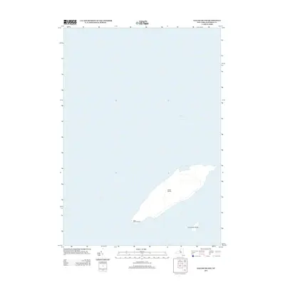
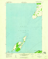
2013 Map of Galloo Island
USGS Topo · Published 2013About this map
Galloo Island Lighthouse stands as a solitary sentinel on the southwestern edge of the Galloo Islands, marking a strategic point within the eastern waters of Lake Ontario. This 2013 survey illustrates the isolated nature of these landmasses, located miles from the New York mainland. The larger island is accompanied by the smaller, distinct Little Galloo Island to the southeast. The map reveals the stark relationship between the low-lying topography of these islands and the surrounding expanse of the Great Lake, showing no significant permanent settlements but preserving the location of the historic navigational aid. For researchers, it documents the precise coastline and landmark positions in the early 21st century.
Find a feature on this map
4 named features on this map. Tap any name to fly to it.
Don’t see what you’re looking for? This feature index may not catch every label — zoom into the map to look around manually.
Map Details
Editions of this 2013 Galloo Island Map
This is the sole edition of this map. No revisions or reprints were ever made.
Other maps of this area

1895 · Stony Island
USGS Topo · 1:62,500

1895 · Cape Vincent
USGS Topo · 1:62,500

1942 · Stony Point
USGS Topo · 1:31,680

1942 · Galloo Island
USGS Topo · 1:31,680

1942 · Cape Vincent South
USGS Topo · 1:31,680

1942 · Point Peninsula
USGS Topo · 1:31,680
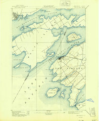
1944 · Cape Vincent
USGS Topo · 1:62,500
1954 · Kingston
USGS Topo · 1:250,000
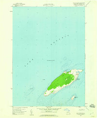
1958 · Galloo Island
USGS Topo · 1:24,000
1958 · Point Peninsula
USGS Topo · 1:24,000