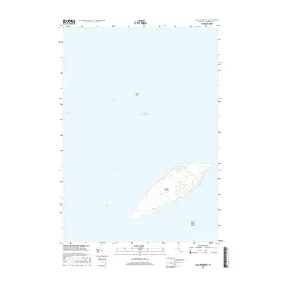
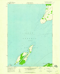
2016 Map of Galloo Island
USGS Topo · Published 2016About this map
Galloo Islands dominate this 2016 survey of eastern Lake Ontario, providing a detailed view of these remote landmasses within Jefferson County. The map details the topography of the main island, including the sheltered waters of Gill Harbor on the eastern shore and the enclosed North Pond at the northern tip. Surrounding these islands are significant maritime features like the Galloo Shoal to the southwest and the deeper Galloo Basin to the north, which transitions into the Saint Lawrence Channel. This modern topographic study reveals a landscape defined by its isolation and maritime hazards, showing the precise relationship between the main island and its smaller neighbor, Little Galloo Island. The lack of significant road infrastructure or named settlements on the islands emphasizes their character as specialized environments or conservation areas at the edge of the international border.
Find a feature on this map
8 named features on this map. Tap any name to fly to it.
Don’t see what you’re looking for? This feature index may not catch every label — zoom into the map to look around manually.
Map Details
Editions of this 2016 Galloo Island Map
This is the sole edition of this map. No revisions or reprints were ever made.
Other maps of this area

1895 · Stony Island
USGS Topo · 1:62,500

1895 · Cape Vincent
USGS Topo · 1:62,500

1942 · Stony Point
USGS Topo · 1:31,680

1942 · Galloo Island
USGS Topo · 1:31,680

1942 · Cape Vincent South
USGS Topo · 1:31,680

1942 · Point Peninsula
USGS Topo · 1:31,680
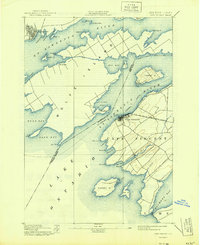
1944 · Cape Vincent
USGS Topo · 1:62,500
1954 · Kingston
USGS Topo · 1:250,000
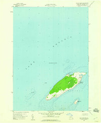
1958 · Galloo Island
USGS Topo · 1:24,000
1958 · Point Peninsula
USGS Topo · 1:24,000