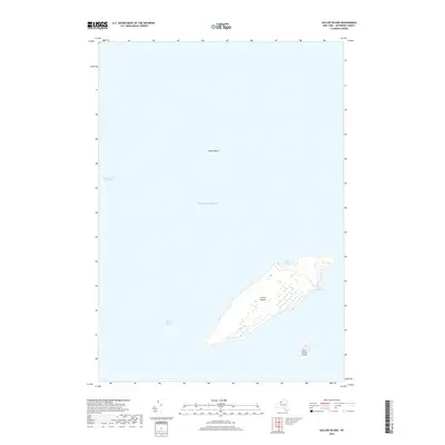
2019 Map of Galloo Island
USGS Topo · Published 2019About this map
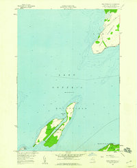
Galloo Islands dominate this 2019 survey of the waters of eastern Lake Ontario. Located within Jefferson County, the map details the isolated geography of the main island and the smaller Little Galloo Island to the south. The terrain is marked by distinct coastal features including the protected waters of Gill Harbor on the eastern shore and North Pond at the northern tip.
Find a feature on this map
8 named features on this map. Tap any name to fly to it.
Don’t see what you’re looking for? This feature index may not catch every label — zoom into the map to look around manually.
Map Details
Editions of this 2019 Galloo Island Map
This is the sole edition of this map. No revisions or reprints were ever made.
Other maps of this area

1895 · Stony Island
USGS Topo · 1:62,500

1895 · Cape Vincent
USGS Topo · 1:62,500

1942 · Stony Point
USGS Topo · 1:31,680

1942 · Galloo Island
USGS Topo · 1:31,680

1942 · Cape Vincent South
USGS Topo · 1:31,680

1942 · Point Peninsula
USGS Topo · 1:31,680
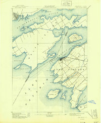
1944 · Cape Vincent
USGS Topo · 1:62,500
1954 · Kingston
USGS Topo · 1:250,000
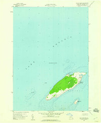
1958 · Galloo Island
USGS Topo · 1:24,000
1958 · Point Peninsula
USGS Topo · 1:24,000