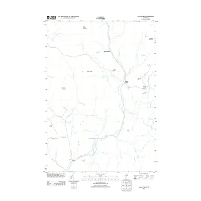
2012 Map of Gallup Mills
USGS Topo · Published 2012About this map
Moose River meanders through the heart of the Essex County wilderness, anchoring a landscape defined by small settlements and historic timber operations. In the early 21st century, these mountain hamlets remain connected by winding roads like Victory Rd and Granby Rd. The map documents numerous family and community burial sites, including Rogers Rangers Cem and Granby Village Cem, which provide essential touchstones for genealogical research in this sparsely populated region. The industrial legacy of the area is visible at Moccasin Mill and the namesake Gallup Mills, while former rail-related points like Damon Crossing suggest the historical transport of lumber. Elevated terrain such as East Haven Mountain and Umpire Mountain hem in the river valleys, creating a isolated geography where small outposts like Victory and Granby have endured for generations.
Find a feature on this map
55 named features on this map. Tap any name to fly to it.
Don’t see what you’re looking for? This feature index may not catch every label — zoom into the map to look around manually.
Map Details
Editions of this 2012 Gallup Mills Map
This is the sole edition of this map. No revisions or reprints were ever made.
Other maps of this area

1900 · Whitefield
USGS Topo · 1:62,500

1920 · Guildhall
USGS Topo · 1:62,500

1931 · Guildhall
USGS Topo · 1:48,000

1931 · Littleton
USGS Topo · 1:62,500

1932 · Littleton
USGS Topo · 1:48,000

1933 · Guildhall
USGS Topo · 1:48,000

1935 · Littleton
USGS Topo · 1:62,500

1935 · Whitefield
USGS Topo · 1:48,000

1937 · Guildhall
USGS Topo · 1:62,500

1938 · Whitefield
USGS Topo · 1:62,500