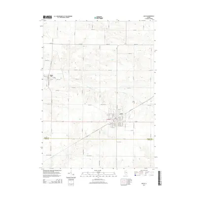
2015 Map of Galva
USGS Topo · Published 2015About this map
Galva sits at the intersection of local routes and history in Henry County, where the transition between the agricultural upland and the drainage of the S Edwards River is clearly defined. The landscape is characterized by a regular grid of section roads like Bonham Rd and James B Young Rd, punctuated by the winding courses of Goose Cr and Mud Run. A significant cultural landmark on this sheet is Bishop Hill, a historic communal settlement founded by Swedish immigrants, preserved here with its adjacent Bishop Hill Cem. To the southeast, the town of Galva shows its established street plan, including the evocative Trolley Rd and several community sites like Saint Johns Cem and Galva Cem. This map records the enduring rural layout and the persistent legacy of 19th-century intentional communities in the Illinois prairie.
Find a feature on this map
43 named features on this map. Tap any name to fly to it.
Don’t see what you’re looking for? This feature index may not catch every label — zoom into the map to look around manually.
Map Details
Editions of this 2015 Galva Map
This is the sole edition of this map. No revisions or reprints were ever made.
Other maps of this area

1929 · Annawan
USGS Topo · 1:62,500

1931 · Galva
USGS Topo · 1:48,000

1932 · Annawan
USGS Topo · 1:62,500

1934 · Geneseo
USGS Topo · 1:62,500

1940 · Galva
USGS Topo · 1:62,500

1944 · Galva
USGS Topo · 1:62,500

1944 · Kewanee
USGS Topo · 1:62,500

1953 · Nekoma
USGS Topo · 1:24,000

1953 · German Corner
USGS Topo · 1:24,000
1953 · Cambridge
USGS Topo · 1:24,000