
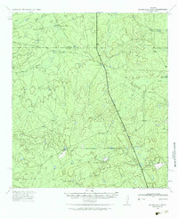
1982 Map of Galvan Ranch
USGS Topo · Published 1982About this map
Galvan Ranch anchors this portion of Webb County, representing the specialized ranching economy of the South Texas brush country during the early 1980s. The landscape is defined by an intricate network of ephemeral drainages, including Tierra Blanca Creek, Santa Isabel Creek, and Cuchara Creek, which dictated the placement of essential water infrastructure.
Find a feature on this map
15 named features on this map. Tap any name to fly to it.
Don’t see what you’re looking for? This feature index may not catch every label — zoom into the map to look around manually.
Map Details
Editions of this 1982 Galvan Ranch Map
This is the sole edition of this map. No revisions or reprints were ever made.
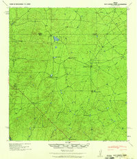
Other maps of this area

1923 · Palafox
USGS Topo · 1:62,500

1929 · Cotulla
USGS Topo · 1:125,000
1940 · Velenzuela Creek
USGS Topo · 1:62,500
1940 · San Loranzo Creek
USGS Topo · 1:62,500

1953 · Crystal City
USGS Topo · 1:250,000

1955 · Crystal City
USGS Topo · 1:250,000

1956 · Las Tiendas
USGS Topo · 1:62,500

1956 · Laredo
USGS Topo · 1:250,000

1961 · Crystal City
USGS Topo · 1:250,000

1965 · Spohn Ranch
USGS Topo · 1:24,000