
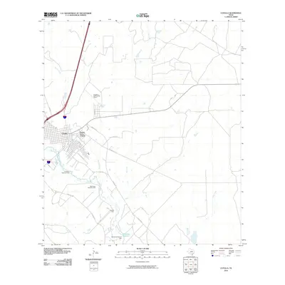
1929 Map of Cotulla
USGS Topo · Published 1929About this map
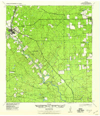
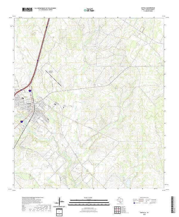
Cotulla serves as the central hub of this South Texas landscape, situated along the I. & G. N. R. R. near the banks of the Nueces River. This 1929 military-based topography reveals a region defined by sprawling cattle operations and early agricultural development, with numerous named properties such as Armstrong Ranch and the Hewitt Farm dotting the brush country. The presence of Dentonio, noted as a camp for troops, highlights the strategic importance of this area near the border during the early 20th century.
Find a feature on this map
117 named features on this map. Tap any name to fly to it.
Don’t see what you’re looking for? This feature index may not catch every label — zoom into the map to look around manually.
Map Details
Editions of this 1929 Cotulla Map
This is the sole edition of this map. No revisions or reprints were ever made.
Historical Maps of Cotulla Through Time
10 maps found
1929 Cotulla
La Salle County, TX
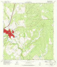
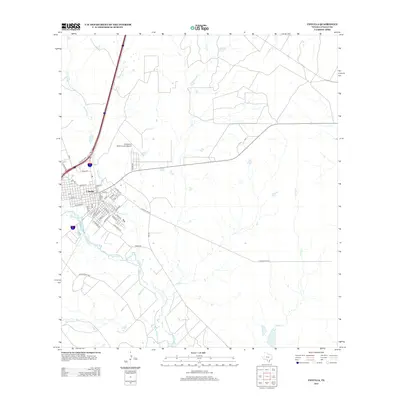
1940 Cotulla
La Salle County, TX
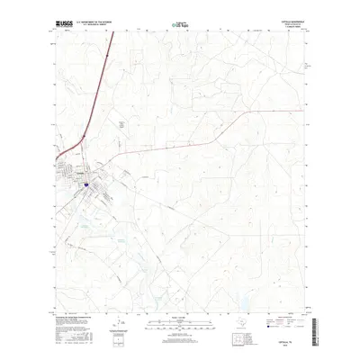
1974 Cotulla
La Salle County, TX
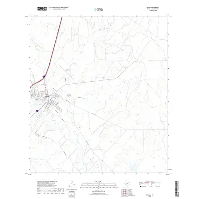
1985 Cotulla
La Salle County, TX
2002 Cotulla
La Salle County, TX
2010 Cotulla
La Salle County, TX
2013 Cotulla
La Salle County, TX
2016 Cotulla
La Salle County, TX
2019 Cotulla
La Salle County, TX
2022 Cotulla
La Salle County, TX