Loading...
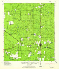
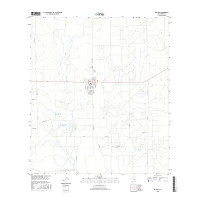
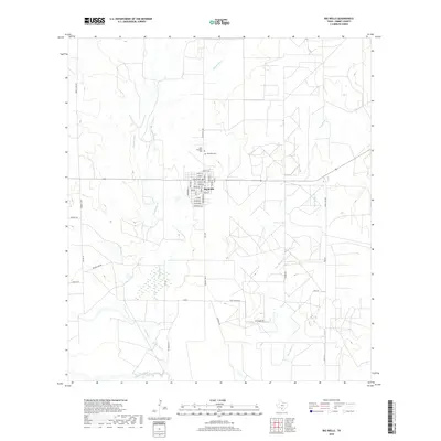
Loading map...1939 Map of Big Wells
USGS Topo · Published 1958About this map
Large cattle operations and family holdings define the South Texas landscape between the Zavala and Dimmit county line at the end of the 1930s. The I-Gn Rr bisects the region, serving as a vital transport artery for agricultural centers like Big Wells and the small settlement of Brundage. The grid of the railroad is punctuated by specialized stops such as J. N. Siding, which provided local ranchers with a direct link to larger markets.
Find a feature on this map
51 named features on this map. Tap any name to fly to it.
Don’t see what you’re looking for? This feature index may not catch every label — zoom into the map to look around manually.
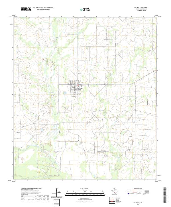
Map Details
Date Portrayed1939
Date Published1958
PublisherU.S. Geological Survey
Map TypeTopographic
Scale1:62,500
Physical Dimensions18 x 21 inches
Editions of this 1939 Big Wells Map
This is the sole edition of this map. No revisions or reprints were ever made.
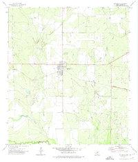
Historical Maps of Big Wells Through Time
7 maps found
Featured Locations
Source Details
SourceU.S. Geological Survey
CopyrightPublic Domain