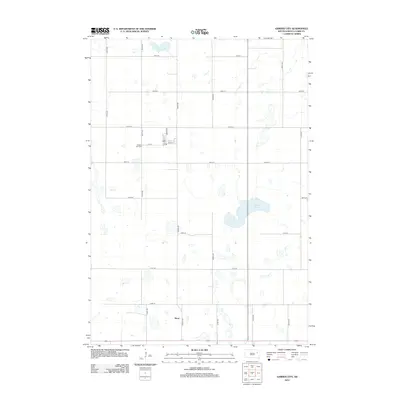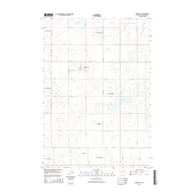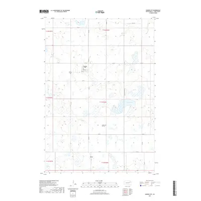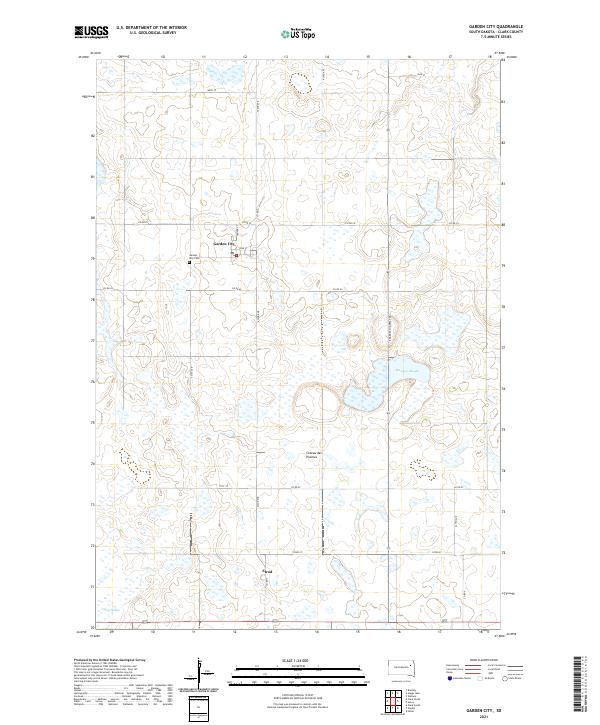
1973 Map of Garden City
USGS Topo · Published 1978About this map
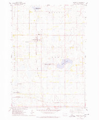
The settlement of Garden City anchors this 1970s survey of eastern Clark County, where the plains are punctuated by significant water features and wildlife management lands. The Chicago and North Western rail line cuts diagonally through the southern landscape, passing through Elrod as it serves the agricultural heartland. To the west of the main town site, the Garden City Cem provides a point of interest for genealogists, while the broader terrain is defined by its glaciated depressions and sloughs.
Find a feature on this map
16 named features on this map. Tap any name to fly to it.
Don’t see what you’re looking for? This feature index may not catch every label — zoom into the map to look around manually.
Map Details
Editions of this 1973 Garden City Map
This is the sole edition of this map. No revisions or reprints were ever made.
Historical Maps of Elrod Through Time
5 maps found