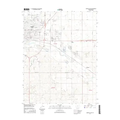
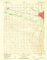
2016 Map of Garden City East
USGS Topo · Published 2016About this map
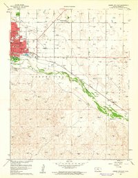
Garden City expands eastward into the High Plains, where suburban residential developments meet the agricultural grid of Finney County. The Arkansas River meanders across the center of the sheet, its wide sandy bed flanked by roads like Burnside Dr and Finnup Dr. In the northeastern section of the city, institutions such as Garden City Community College and Valley View Cemetery mark the transition from dense street grids to open land. Further east, the small settlement of Mansfield sits along the river's south bank, served by a network of rural routes. The landscape is defined by its rectilinear irrigation and transportation patterns, with major thoroughfares like E Kansas Ave and E Mary St providing the primary east-west conduits for the region's commerce and travel.
Find a feature on this map
62 named features on this map. Tap any name to fly to it.
Don’t see what you’re looking for? This feature index may not catch every label — zoom into the map to look around manually.
Map Details
Editions of this 2016 Garden City East Map
This is the sole edition of this map. No revisions or reprints were ever made.
Other maps of this area
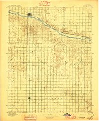
1896 · Garden
USGS Topo · 1:125,000
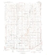
1944 · Tennis
USGS Topo · 1:62,500
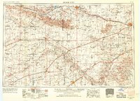
1955 · Dodge City
USGS Topo · 1:250,000

1955 · Scott City
USGS Topo · 1:250,000
1958 · Dodge City
USGS Topo · 1:250,000

1958 · Scott City
USGS Topo · 1:250,000
1959 · Dodge City
USGS Topo · 1:250,000
1960 · Garden City East
USGS Topo · 1:24,000
1960 · Garden City SW
USGS Topo · 1:24,000
1960 · Garden City West
USGS Topo · 1:24,000