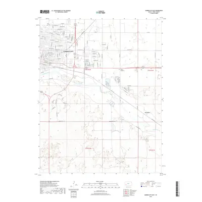
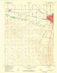
2018 Map of Garden City East
USGS Topo · Published 2018About this map
Garden City expands eastward across the High Plains of western Kansas, where residential developments and industrial zones meet the irrigated agricultural landscape. The southern half of the map is dominated by the broad, braided path of the Arkansas River, a critical geographic feature that has historically shaped the settlement and transport patterns of Finney County. Established burial grounds like Valley View Cem and Sunset Memorial Gardens Cem provide significant points of interest for genealogists tracing local families.
Find a feature on this map
59 named features on this map. Tap any name to fly to it.
Don’t see what you’re looking for? This feature index may not catch every label — zoom into the map to look around manually.
Map Details
Editions of this 2018 Garden City East Map
This is the sole edition of this map. No revisions or reprints were ever made.
Other maps of this area
1896 · Garden
USGS Topo · 1:125,000
1944 · Tennis
USGS Topo · 1:62,500
1955 · Dodge City
USGS Topo · 1:250,000

1955 · Scott City
USGS Topo · 1:250,000
1958 · Dodge City
USGS Topo · 1:250,000

1958 · Scott City
USGS Topo · 1:250,000
1959 · Dodge City
USGS Topo · 1:250,000
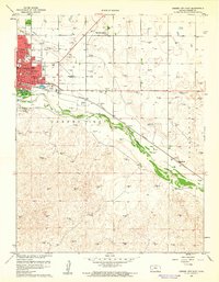
1960 · Garden City East
USGS Topo · 1:24,000
1960 · Garden City SW
USGS Topo · 1:24,000
1960 · Garden City West
USGS Topo · 1:24,000