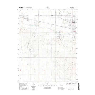
2016 Map of Garden City West
USGS Topo · Published 2016About this map
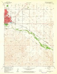
The Arkansas River meanders across the High Plains of western Kansas in this 2016 survey, defining the geographical divide between the agricultural grid of the north and the undulating sandy terrain to the south. Garden City occupies the northeastern corner of the map, where a dense street network including Buffalo Jones Ave and Railroad Ave highlights the city's growth as a regional hub. Westward along the rail corridor, the smaller settlements of Quinby and Holcomb sit north of the river, connected by the historic route of Old US Hwy 50. The landscape reflects a transition from organized urban development and irrigated farmland to the more sparse, open topography of the south. Roadways like N Big Lowe Rd and W Taylor Jones Rd provide a clear view of the rural township and range system that structures this part of Finney County.
Find a feature on this map
74 named features on this map. Tap any name to fly to it.
Don’t see what you’re looking for? This feature index may not catch every label — zoom into the map to look around manually.
Map Details
Editions of this 2016 Garden City West Map
This is the sole edition of this map. No revisions or reprints were ever made.
Other maps of this area
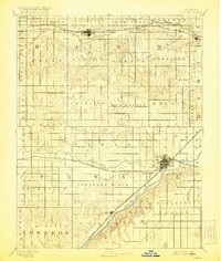
1891 · Larned
USGS Topo · 1:125,000
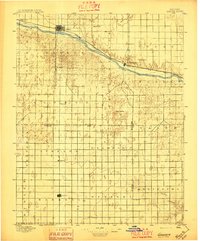
1896 · Garden
USGS Topo · 1:125,000
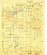
1900 · Lakin
USGS Topo · 1:125,000
1944 · Tennis
USGS Topo · 1:62,500
1955 · Dodge City
USGS Topo · 1:250,000

1955 · Scott City
USGS Topo · 1:250,000
1958 · Dodge City
USGS Topo · 1:250,000

1958 · Scott City
USGS Topo · 1:250,000
1959 · Dodge City
USGS Topo · 1:250,000
1960 · Garden City East
USGS Topo · 1:24,000