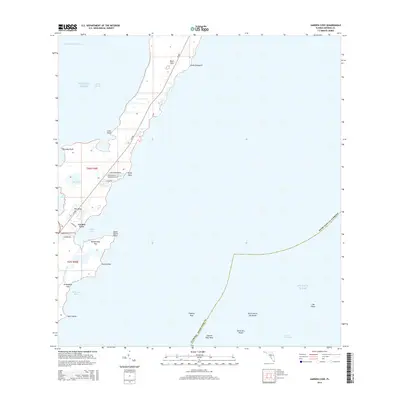
2015 Map of Garden Cove
USGS Topo · Published 2015About this map
Key Largo serves as the focal point of this coastal survey, where the intersection of water and land creates a complex network of sounds, bights, and inland lakes. The residential development of Garden Cove is clearly delineated by local thoroughfares such as Loquat Dr and Garden Cove Dr, providing a look at the community structure during this period. The landscape transitions from these populated areas into the natural features of the Upper Keys, including the Basin Hills and numerous named points like Point Elizabeth and Point Mary.
Find a feature on this map
59 named features on this map. Tap any name to fly to it.
Don’t see what you’re looking for? This feature index may not catch every label — zoom into the map to look around manually.
Map Details
Editions of this 2015 Garden Cove Map
This is the sole edition of this map. No revisions or reprints were ever made.
Other maps of this area
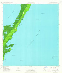
1947 · Garden Cove
USGS Topo · 1:24,000
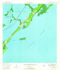
1947 · Rock Harbor
USGS Topo · 1:24,000
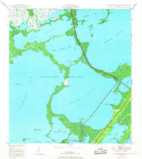
1947 · Blackwater Sound
USGS Topo · 1:24,000
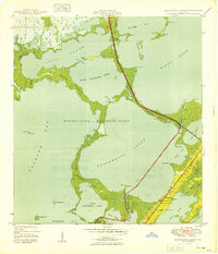
1949 · Blackwater Sound
USGS Topo · 1:24,000
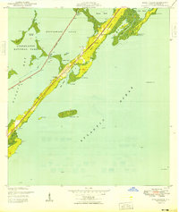
1949 · Rock Harbor
USGS Topo · 1:24,000
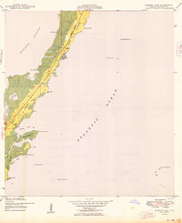
1949 · Garden Cove
USGS Topo · 1:24,000
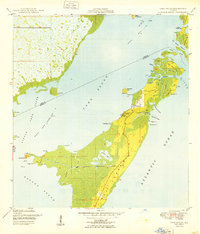
1949 · Card Sound
USGS Topo · 1:24,000
1949 · Pacific Reef
USGS Topo · 1:24,000
1950 · Glades
USGS Topo · 1:24,000
1956 · Card Sound
USGS Topo · 1:24,000