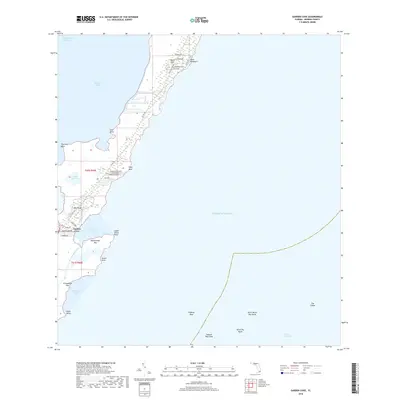
2018 Map of Garden Cove
USGS Topo · Published 2018About this map
The mangrove-lined edges and coral formations of the upper Florida Keys define this landscape, where the Intracoastal Waterway navigates the transition between Barnes Sound and the open Atlantic Ocean. Significant coastal development is centered around Basin Hills and Key Largo, with residential streets like Grande Ave and Charlemagne Blvd reaching toward the shoreline. This 2018 survey reveals the complex marine environment surrounding Garden Cove, where local navigation depends on identifying prominent points such as Cove Point and Upper Sound Point. Further offshore, the underwater geography is marked by dangerous shoals and navigational markers including Higdons Reef, Captain Roys Reef, and the outlying formation known as The Elbow. These features, alongside isolated landmasses like Rattlesnake Key and El Radabob Key, illustrate the delicate balance between tropical settlement and the marine wilderness of the Atlantic coast.
Find a feature on this map
42 named features on this map. Tap any name to fly to it.
Don’t see what you’re looking for? This feature index may not catch every label — zoom into the map to look around manually.
Map Details
Editions of this 2018 Garden Cove Map
This is the sole edition of this map. No revisions or reprints were ever made.
Other maps of this area
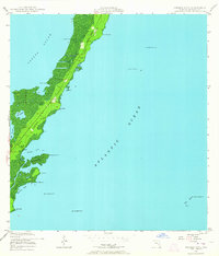
1947 · Garden Cove
USGS Topo · 1:24,000
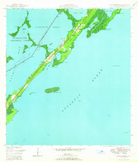
1947 · Rock Harbor
USGS Topo · 1:24,000
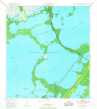
1947 · Blackwater Sound
USGS Topo · 1:24,000
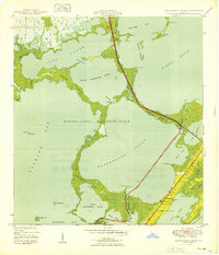
1949 · Blackwater Sound
USGS Topo · 1:24,000
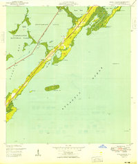
1949 · Rock Harbor
USGS Topo · 1:24,000
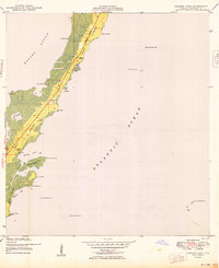
1949 · Garden Cove
USGS Topo · 1:24,000
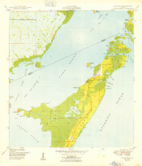
1949 · Card Sound
USGS Topo · 1:24,000
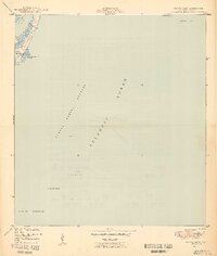
1949 · Pacific Reef
USGS Topo · 1:24,000
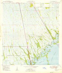
1950 · Glades
USGS Topo · 1:24,000
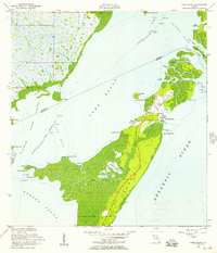
1956 · Card Sound
USGS Topo · 1:24,000