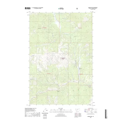
2020 Map of Garden Point
USGS Topo · Published 2020About this map
Garden Point serves as a central landmark in this mountainous region of Missoula County, where the topography is defined by the intricate drainage systems of Lolo Cr and Petty Cr. The landscape is characterized by its steep drainages and high meadows, including Grave Creek Meadow and the deep incisions of Chief Joseph Gulch and Cooley Gulch. Much of the territory falls within the Lolo National Forest, where a network of access routes like Wagon Mountain Rd and Howard Creek Rd navigate the challenging elevations.
Find a feature on this map
31 named features on this map. Tap any name to fly to it.
Don’t see what you’re looking for? This feature index may not catch every label — zoom into the map to look around manually.
Map Details
Editions of this 2020 Garden Point Map
This is the sole edition of this map. No revisions or reprints were ever made.
Other maps of this area

1911 · Lolo
USGS Topo · 1:250,000

1912 · Missoula
USGS Topo · 1:125,000

1913 · Lolo
USGS Topo · 1:250,000

1956 · Hamilton
USGS Topo · 1:250,000

1959 · Hamilton
USGS Topo · 1:250,000

1960 · Hamilton
USGS Topo · 1:250,000

1964 · Hamilton
USGS Topo · 1:250,000
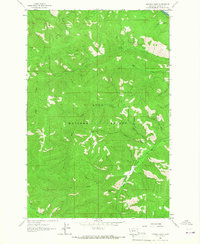
1964 · Diamond Point
USGS Topo · 1:24,000

1964 · Lolo Hot Springs
USGS Topo · 1:24,000

1964 · Garden Point
USGS Topo · 1:24,000