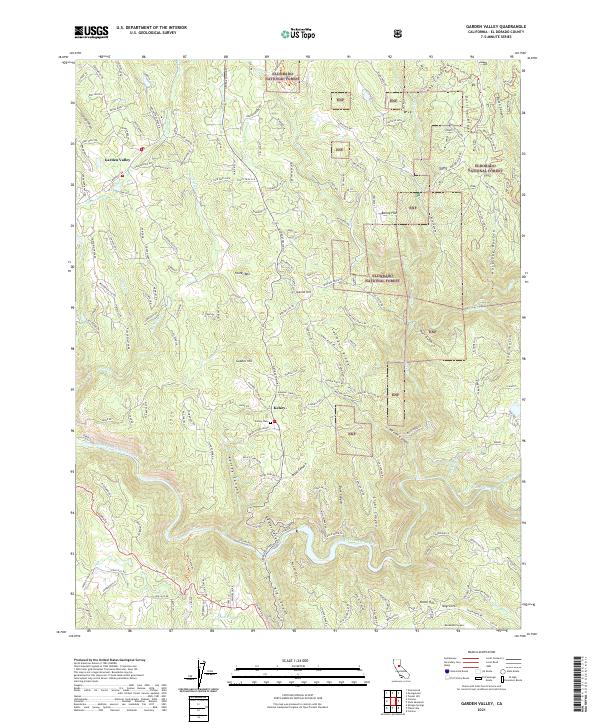
2021 Map of Garden Valley
USGS Topo · Published 2021About this map
The community of Garden Valley serves as a focal point for this section of El Dorado County, where the transition from residential plots to the timberlands of the Eldorado National Forest is clearly visible. The landscape is defined by its gold country history, evidenced by landmarks like Foster Mtn and Gopher Hill, alongside the deeply carved South Fork American River which forms the southern boundary of the map. Smaller settlements such as Kelsey and Barley Flat are connected by a network of winding roads like Georgetown Rd, following the contours of the Sierra Nevada foothills.
Find a feature on this map
179 named features on this map. Tap any name to fly to it.
Don’t see what you’re looking for? This feature index may not catch every label — zoom into the map to look around manually.
Map Details
Editions of this 2021 Garden Valley Map
This is the sole edition of this map. No revisions or reprints were ever made.
Other maps of this area

1891 · Placerville
USGS Topo · 1:125,000

1892 · Placerville
USGS Topo · 1:125,000

1893 · Placerville
USGS Topo · 1:125,000

1947 · Sacramento
USGS Topo · 1:250,000

1948 · Sacramento
USGS Topo · 1:250,000

1949 · Georgetown
USGS Topo · 1:62,500

1949 · Placerville
USGS Topo · 1:62,500
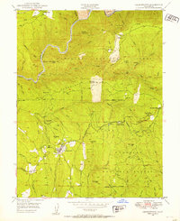
1949 · Georgetown
USGS Topo · 1:24,000

1949 · Placerville
USGS Topo · 1:24,000
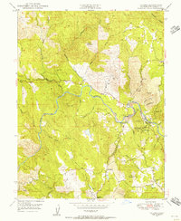
1949 · Coloma
USGS Topo · 1:24,000